Home / Neighborhoods / Burbank
Burbank Homes for Sale
An independent Los Angeles County city with its own schools, utility and permitting.
Home / Neighborhoods / Burbank
An independent Los Angeles County city with its own schools, utility and permitting.
About the Neighborhood
Burbank is an incorporated city in Los Angeles County, not a neighborhood of Los Angeles. Voters approved incorporation on July 8, 1911 by a margin of 80 to 51, and the city has run its own affairs ever since. It covers roughly 17 square miles at the eastern end of the San Fernando Valley, rising from about 484 feet near the river to about 957 feet in the Verdugo foothills. The 2020 census counted 107,333 residents; the Census Bureau's July 2025 estimate was near 102,988. Burbank has used a council-manager government since January 13, 1927, with a five-member council. Its own police and fire departments, planning staff and permit counter handle work that in Los Angeles falls to agencies twelve miles away.
The consequences of that independence appear on the first page of a buyer's due diligence. Children living in Burbank attend Burbank Unified School District schools, not Los Angeles Unified. The district runs eleven elementary schools, three middle schools and three high schools, and assigns students by home address using a street directory and boundary map kept by its Student Services office. Electricity and water come from Burbank Water and Power, a municipal utility created in 1913 that serves roughly 53,000 retail accounts and also operates a fiber network. Refuse collection, street work, libraries and parks are city services. The agencies to call are in Burbank, and answers Los Angeles gives about a comparable address frequently do not apply.
Burbank's economy was built on two industries that arrived within a few years of each other. First National Pictures built a 62-acre studio lot in 1926 on what is now West Olive Avenue; Warner Bros. acquired a majority interest in First National in September 1928 and had made Burbank its headquarters by 1937. Walt Disney moved from Hyperion Avenue to 51 acres at 500 South Buena Vista Street between December 1939 and January 1940, financing the campus with earnings from Snow White and the Seven Dwarfs and commissioning Kem Weber to design it in Streamline Moderne. Lockheed opened in March 1928 with 20,000 square feet at Empire Avenue and San Fernando Road. Nickelodeon Animation Studio has occupied West Olive Avenue since the late 1990s.
Because Burbank is a separate city, Measure ULA does not apply to a Burbank sale. That Los Angeles transfer tax reaches only documents conveying real property inside Los Angeles city limits. For transactions closing after June 30, 2026, the Los Angeles Office of Finance sets ULA thresholds at $5,400,000 and $10,900,000, with 4 percent on sales above $5.4 million up to $10.9 million and 5.5 percent at $10.9 million or more, layered on a base rate of $2.25 per $500. None of it touches Burbank. Burbank transfers carry the ordinary California documentary transfer tax of $0.55 per $500, equal to $1.10 per $1,000, divided between city and county. Burbank levies no additional city rate.
Three site-specific questions decide a great deal in Burbank. The first is aircraft noise: Hollywood Burbank Airport sits in the northwest of the city, its voluntary night curfew runs from 10 p.m. to 6:59 a.m., and departure and arrival paths affect neighborhoods unevenly. The second is fire: the hillside side of Burbank falls inside a Very High Fire Hazard Severity Zone, and the Burbank Fire Department mails clearance notices in May, requires the work finished by the end of June and inspects from July. The third is entitlement: property in the designated Hillside Area needs a Hillside Development Permit before a building permit for structures above 16 feet to the top of the roof, for more than 3,000 square feet of counted floor area, or for building beyond front or rear setback lines.
Life Here
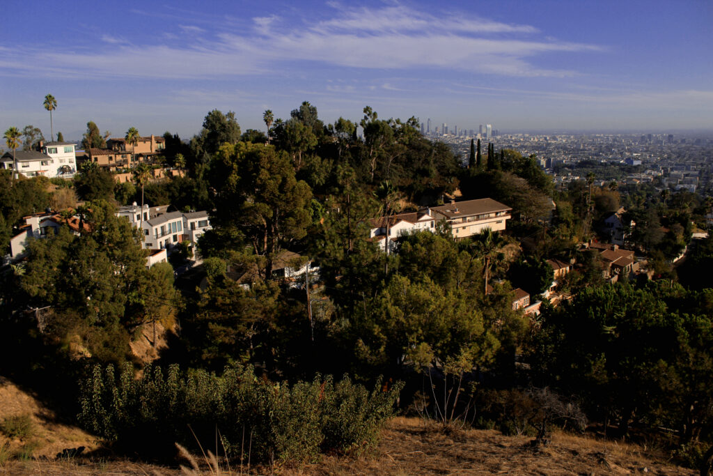
Kenneth Road and the streets above it: view homes and the Valley’s prettiest sunrises.
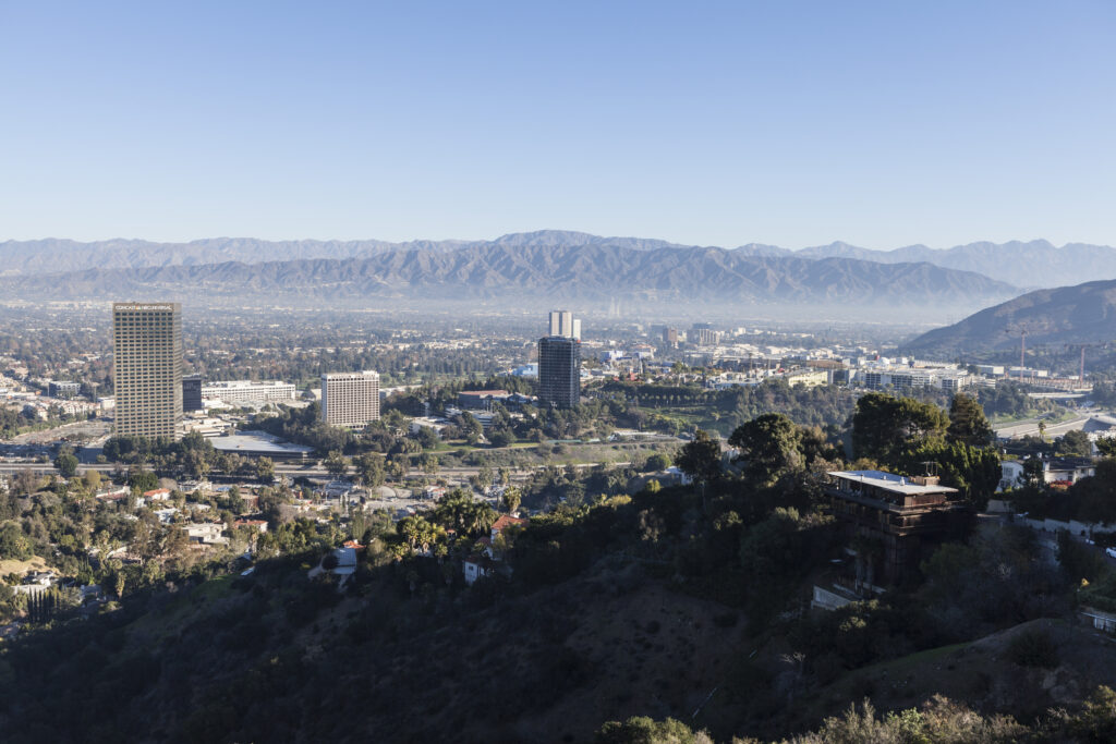
Horses at the end of the garden and Griffith Park trails across the wash.
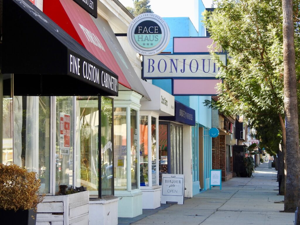
Vintage shops, coffee and porch flags: the main street the Valley kept.
History
The land beneath Burbank came from two Mexican land grants, Rancho San Rafael and Rancho La Providencia. In 1867 Dr. David Burbank, a dentist who had settled in Los Angeles, assembled a sheep ranch from more than 4,000 acres bought from Jonathan R. Scott together with 4,600 acres of Rancho La Providencia. The townsite carrying his name was laid out on May 1, 1887, during the Southern California land boom that followed the arrival of competing railroads. Growth was slow for a generation, and the settlement counted only about a thousand people by 1908. Voters approved incorporation on July 8, 1911, and Burbank has been an independent municipality for well over a century.
Industry arrived in the late 1920s and changed the town permanently. First National Pictures opened its Burbank lot in 1926 and passed into Warner Bros. control in 1928. Columbia Studios followed in 1935 and Walt Disney in 1939. Lockheed started in March 1928 in 20,000 square feet at Empire Avenue and San Fernando Road. During the Second World War the plant became one of the largest aircraft works in the country, though accounts of peak employment differ, with the city's own guide citing 94,000 workers and other histories placing the figure near 80,800. That guide credits the Burbank operation with more than 19,000 aircraft for the war effort. Population climbed from 16,662 in 1930 to 34,337 in 1940.
To hide the plant from aerial attack, Colonel John F. Ohmer assembled camouflage crews drawn from the Disney, Paramount and 20th Century Fox art departments. They stretched chicken wire, netting and painted canvas over the factory, painted airfields and parking lots green to read as alfalfa, and built artificial trees using spray-painted chicken feathers for foliage. From 5,000 feet an inspecting officer reportedly saw nothing but California suburbs. After 1945 those suburbs became real, and Burbank grew to 78,224 people by 1950 and 90,155 by 1960 as tract builders filled the flatlands. The airport, opened as United Airport in 1930, passed to the Burbank-Glendale-Pasadena Airport Authority in 1978. The former Lockheed works later gave way to the Empire Center.
Architecture
Burbank's oldest residential fabric dates from the 1920s subdivision boom, and Magnolia Park is where it survives most legibly. Blocks laid out in that decade carry one-story single-family houses in the period revival vocabularies then in fashion: Spanish Colonial Revival with stucco walls, low-pitched tile roofs and arched openings; Tudor and English revival with steep cross gables; and simpler cottages with returned eaves and bay windows. Lots are generally modest and rectangular, with detached garages reached from the street or an alley. The city's citywide historic context report treats this period as a distinct phase of development, and a number of individual houses on East Magnolia Boulevard and nearby streets now carry Burbank historic resource status, several with Mills Act contracts recorded against them.
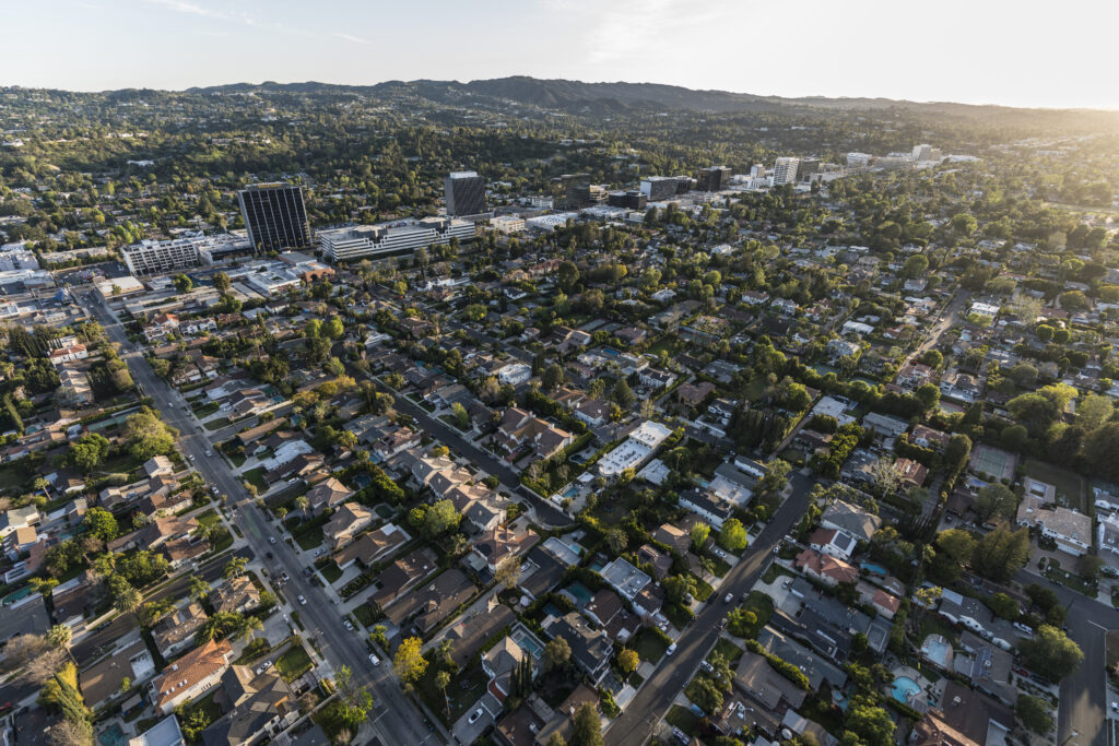
The far larger layer is post-war. Burbank's population more than doubled between 1940 and 1950, and builders answered with tracts of Minimal Traditional and Ranch houses across the flatlands south and west of downtown. These are typically one story and three bedrooms, wood or stucco over slab or raised foundation, with attached garages and shallow-pitched roofs. The Grandview Building Company was among the firms working at scale in this period. Because so much of the city was built inside a short window to similar plans, streetscapes read consistently, and comparable sales tend to cluster tightly by tract rather than by street. Additions and second-story work are common, and much of the current inventory is an original tract house expanded once or twice.
Above Glenoaks Boulevard the terrain rises into the Verdugo foothills, and the housing changes with it. Hillside houses sit on cut-and-fill pads along curving streets, frequently split-level or stepping down the slope, and view orientation rather than lot size drives value. Post-and-beam and contemporary designs appear alongside more conventional ranch stock. Recent years have brought a rebuild wave across the flats as well, with original houses taken back to studs or replaced by larger traditional and transitional designs built to current code. Burbank's civic architecture anchors the older core: City Hall of 1943 by William Allen and George Lutzi in WPA Moderne, and the Burbank Water and Power headquarters of 1949 by Daniel A. Elliott on West Magnolia Boulevard.
Understanding the Market
Price in Burbank is set by a short list of variables. School district is the first and most consistent: a Burbank address delivers Burbank Unified rather than Los Angeles Unified, and that distinction supports demand across the whole city rather than in a few pockets. Walkability to the Magnolia Boulevard shops or to downtown Burbank and the Town Center carries a measurable premium. Studio proximity matters to a specific and durable buyer pool working at Warner Bros., Disney and across the Media District. American Community Survey figures for 2020 to 2024 put the owner-occupied rate at 43.3 percent and the median value of owner-occupied homes at $1,089,100, though survey medians describe the standing stock rather than current transactions.
For sellers, the most consequential fact about Burbank is a tax that does not exist here. Measure ULA applies only to conveyances of real property within the City of Los Angeles, so a Burbank sale at any price falls outside it. A seller closing at $6 million in Studio City, or on the Los Angeles side of Toluca Lake, would face the 4 percent ULA charge under the thresholds effective after June 30, 2026; the same $6 million sale in Burbank would not. Burbank transfers carry only the standard documentary transfer tax of $0.55 per $500 of consideration, or $1.10 per $1,000, shared between the city and the county. Burbank does not appear on the county's list of cities imposing an additional city rate.
Within the city, three factors separate otherwise similar houses. Flight paths and noise exposure vary by neighborhood, and the northwest quadrant nearest Hollywood Burbank Airport is affected differently from the southeast; some properties carry recorded avigation easements, which is a title question rather than a matter of impression. Hillside parcels trade on view and privacy but carry Hillside Development Permit review, steeper construction costs and Very High Fire Hazard Severity Zone obligations that flow through to insurance. Rancho parcels in the R-1-H zone command a premium from horse owners because the horsekeeping right is zoned rather than merely tolerated. Buyers weighing two addresses should confirm each of these at parcel level before comparing prices.
Micro Neighborhoods
Magnolia Park occupies the western flats along Magnolia Boulevard, and it is the part of Burbank that reads most clearly as a pre-war neighborhood. The commercial strip carries roughly 150 independent businesses, weighted toward vintage clothing, antiques, bookshops and small restaurants, and holds a Magnolia Park Night Out on the last Friday of each month. Residential blocks behind the boulevard hold 1920s period revival cottages alongside post-war infill, and the Chandler Bikeway runs through. Buyers pay for walkability, and the stock is older and smaller than Burbank's post-war tracts.
The Rancho is Burbank's equestrian district, about 315 acres in two non-contiguous parts along the city's southern edge against the Los Angeles River. The eastern portion runs between Alameda Avenue and Oak Street, Victory Boulevard, the river and Keystone Street; the western sits between Reval Court, Bob Hope Drive, the river and California Street. Its defining feature is the R-1-H zone, Single Family Residential Horsekeeping, found nowhere else in Burbank, permitting stables under Municipal Code standards for size, setbacks, screening and materials. The city recorded 30 active horse registrations as of December 2024, and trails connect to Griffith Park and the Mariposa Street equestrian bridge.
Burbank Hills covers the slopes rising north and east of Glenoaks Boulevard into the Verdugo Mountains, including the streets around the city-owned DeBell Golf Club on East Walnut Avenue, which opened in 1959. Houses sit on graded pads along winding roads, and elevation buys views over the Valley and the studio district. The trade-offs are regulatory and practical: much of the area sits in the Very High Fire Hazard Severity Zone, with brush clearance obligations to 200 feet, and construction is governed by Hillside Development Permit review.
The Media District covers the southern part of the city around West Olive Avenue and Riverside Drive, where Warner Bros., Walt Disney and Nickelodeon Animation Studio are concentrated. Warner Bros. occupies the lot First National built in 1926 and had grown to 35 sound stages by 2015; its Second Century project added roughly 800,000 square feet of Frank Gehry-designed office space at 100 South California Street. Disney's headquarters campus sits on 51 acres at 500 South Buena Vista Street. Housing around the district mixes older flats, condominiums and small single-family blocks, and demand skews to buyers wanting minutes rather than freeway miles to work.
Downtown Burbank centers on San Fernando Boulevard between Olive and Magnolia, a walkable core of restaurants, bars, cinemas and shops. The Burbank Town Center opened in August 1991 on a 40-acre site at the north end of the former Golden Mall, a pedestrianized street that ran from 1967 to 1989, and was renamed from Media City Center in late 2004. City Hall of 1943 and the Burbank Post Office stand nearby, both on the National Register. Housing near the core runs to condominiums and apartments with a fringe of older single-family blocks, and this is where a car is genuinely optional.
Chandler Boulevard runs east to west across the southern flats, and its defining amenity is the Chandler Bikeway, a 2.8-mile path opened in 2004 on the former Southern Pacific Burbank Branch railroad right of way. The separated section runs from Mariposa Street in Burbank to Vineland Avenue in North Hollywood, crossing the municipal boundary at Clybourn Avenue and connecting toward the North Hollywood Metro station. Blocks facing and backing the corridor are mostly post-war single-family stock, with some multi-family on the boulevard itself. Proximity to the path is priced accordingly.
Education
These are Burbank Unified School District schools, not Los Angeles Unified, and that difference is one of the main reasons buyers choose Burbank over adjacent Los Angeles neighborhoods. Assignment follows the parcel: Burbank Unified determines the assigned elementary, middle and high school from the home address using a master street directory and boundary map, and some residences have more than one option. The district separately administers intra-district permits for Burbank residents seeking a school other than the assigned one, and inter-district permits for families living outside the city, each on its own timeline. Confirm any specific address and the current permit windows directly with Burbank Unified Student Services before relying on an assignment.
Common Questions
Work With Ben
Burbank rewards precision: the right side of a school boundary, the quieter flight path, a Rancho lot zoned for horses. Describe what matters most and the search can be built around it.
Start the ConversationBen will reach out shortly to set up your tour.