Home / Neighborhoods / Hollywood Hills
Hollywood Hills Homes for Sale
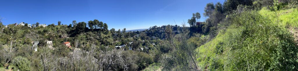
Canyon roads, city views and architecture with a story, from Laurel Canyon to Beachwood.
Home / Neighborhoods / Hollywood Hills
Canyon roads, city views and architecture with a story, from Laurel Canyon to Beachwood.
About the Neighborhood
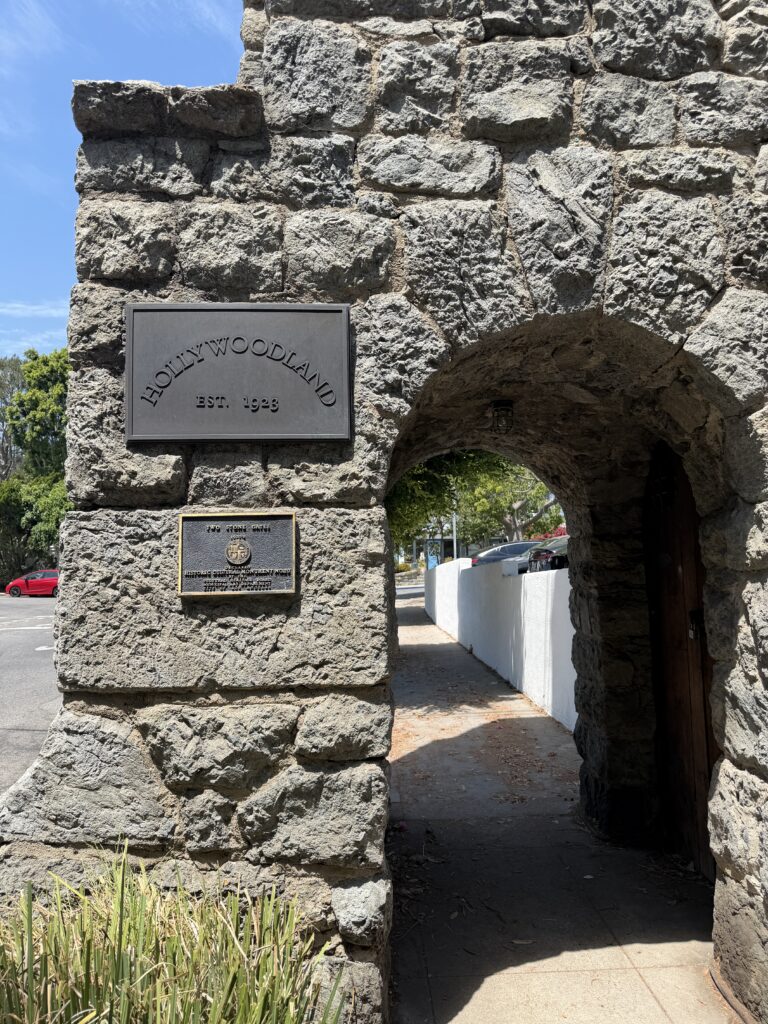
The Hollywood Hills developed canyon by canyon rather than under any master plan. Laurel Canyon opened in the 1910s, when Charles Spencer Mann's trackless trolley carried buyers up to the Lookout Mountain tracts and the weekend cabins of Bungalow Land. Hollywoodland followed in 1923, when S.H. Woodruff and Tracy Shoults subdivided upper Beachwood Canyon behind granite gates and put up the advertising sign that became the Hollywood Sign. Charles E. Toberman laid out Outpost Estates below the ridge in the mid-1920s, and Russ Vincent and Al Hess broke ground on Mount Olympus in June 1963, grading roughly 300 acres above Laurel Canyon Boulevard.
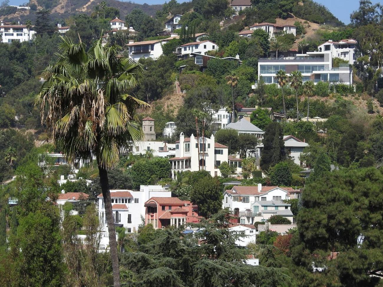
The housing stock tracks that history precisely. Hollywoodland and Outpost keep 1920s Spanish Colonial Revival, Mediterranean and storybook houses; Laurel and Nichols Canyons mix converted cabins, 1950s post-and-beam and stilt houses with later infill; Mount Olympus is 1960s and 1970s pad-graded modern on cut-and-fill lots; the Bird Streets and Doheny Estates, at the western end, carry heavily rebuilt contemporary view houses. Lot sizes run from tiny canyon parcels to acre-plus ridge holdings, and a large share of homes sit on substandard streets narrower than twenty feet, which shapes both construction feasibility and everyday access.
Everything under the Hollywood Hills umbrella is City of Los Angeles, so building is governed by the Baseline Hillside Ordinance, adopted in 2011 as Ordinance 181624 and tightened effective March 2017. It scales allowable residential floor area to lot size and slope, caps grading and earth import-export, limits height, and routes major excavation through LADBS hillside review and Board of Building and Safety haul-route approval. Nearly all of the Hills also sits in a Very High Fire Hazard Severity Zone, updated on CAL FIRE's 2025 maps, bringing Chapter 7A ignition-resistant construction standards, annual LAFD brush clearance and Red Flag Day parking restrictions on posted narrow streets.
Daily life is organized around a handful of canyon roads, including Laurel Canyon Boulevard, Nichols Canyon Road, Outpost Drive and Beachwood Drive, which carry commuters over to the Valley and down to the flats. The Canyon Country Store has anchored Laurel Canyon since the neighborhood's earliest years. Expect carpool logistics for school, delivery trucks negotiating blind curves, coyotes and deer in the yard, and genuine quiet at night. Trash-truck access, cell coverage and street parking vary block to block, and fire season is a shared civic project, with evacuation-route awareness part of ordinary hillside routine.
Buyers should verify more here than in the flats: a geologic and soils report, the LADBS permit history for retaining walls, decks and additions, whether the parcel falls within the Hollywood Fault's Alquist-Priolo earthquake study zone, and whether the house is on sewer or septic, which remains common in parts of Laurel Canyon. Confirm fire-zone status and insurability early, because carriers treat Very High Fire Hazard Severity Zone addresses differently, and check street width, recorded easements and shared driveways. School assignment follows the exact parcel, so run the address through LAUSD's Resident School Identifier rather than assuming a neighbor's school.
Life Here
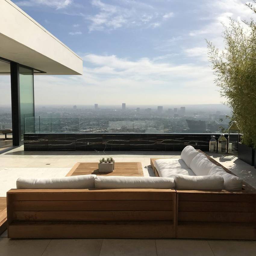
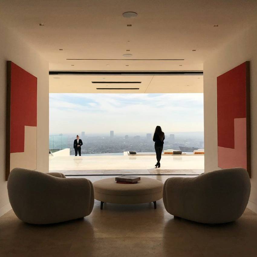
From the observatory to the ocean on a clear day. The view is the amenity, and it never gets old.
Lautner, Schindler and their heirs built the hills. Pedigree houses come to market here more than anywhere in the city.
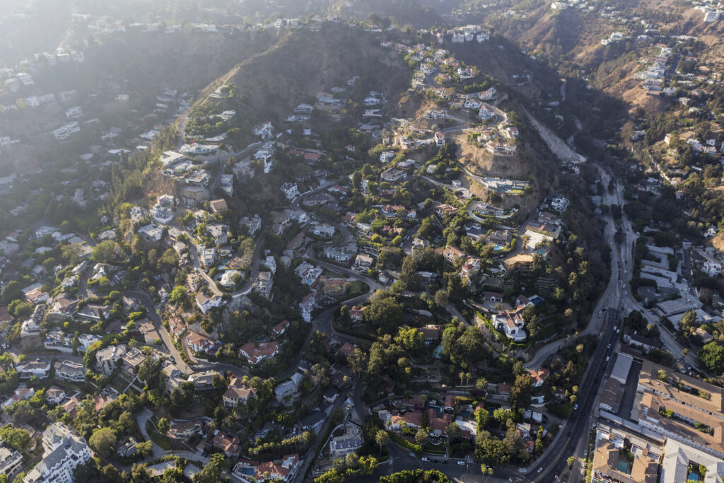
Each one a small town: coffee at the canyon store, neighbors who wave, and quiet ten minutes from the Strip.
History
The Hollywood Hills were sold before they were settled. H.J. Whitley, the developer routinely called the father of Hollywood, was subdividing these slopes by 1902 and opened Whitley Heights in June 1920, sending architect A.S. Barnes to study Mediterranean hill towns first; the houses raised between 1918 and 1928 still curl around the grade. Charles E. Toberman took land Los Angeles Times publisher Harrison Gray Otis had bought in 1903 and opened Outpost Estates in the mid-1920s, advertising it with a thirty-foot neon OUTPOST sign. Hollywoodland opened March 31, 1923 above Beachwood Canyon, financed by publisher Harry Chandler, and its own billboard, first lit that December, outlived the sales campaign to become the Hollywood Sign.
Those tracts drew the street pattern that still governs Hollywood Hills real estate. Salesmen needed view lots, so graders cut switchbacks and dead-end spurs to reach ridgelines rather than laying a grid, and the resulting lanes are narrow, blind and frequently substandard under today's twenty-foot code threshold. By midcentury the canyons had become the city's creative capital, and the Case Study House Program put two of its steel houses on hillside parcels here: Pierre Koenig's Bailey House, Case Study House 21, on Wonderland Park Avenue in Laurel Canyon, and his Stahl House, Case Study House 22, at 1635 Woods Drive above the Sunset Strip, completed around 1959 to 1960 and fixed in memory by Julius Shulman's twilight photograph.
The regulatory era arrived late and changed everything. The Mulholland Scenic Parkway Specific Plan, Ordinance 167,943, was adopted May 13, 1992, covering Mulholland Drive from the Hollywood Freeway west to the city-county line; it defines an inner corridor reaching 500 feet beyond the right-of-way, an outer corridor to half a mile, and a Design Review Board that must pass on any project visible from the parkway. The Baseline Hillside Ordinance followed, adopted March 18, 2011 as Ordinance 181624 and effective that May, then tightened in 2017. It ties allowable floor area to slope bands, caps grading, limits height and routes significant earth movement through haul-route review. Living in the Hollywood Hills now means building to those rules.
Architecture
No other Los Angeles hillside carries this density of documented authorship. Frank Lloyd Wright's Hollyhock House, built 1919 to 1921 on Olive Hill for Aline Barnsdall, was inscribed on the UNESCO World Heritage List in 2019; his Ennis House of 1924 on Glendower Avenue used more than 27,000 hand-cast decomposed-granite blocks. Within the hills themselves stand Wright's Storer House on Hollywood Boulevard and the Samuel Freeman House on Glencoe Way, both mid-1920s textile-block works supervised in construction by Lloyd Wright, who also designed the 1927 and 1928 Hollywood Bowl shells and the 1926 Sowden House. Add Richard Neutra's 1929 Lovell Health House and 1936 Kun House, R.M. Schindler's 1936 Fitzpatrick-Leland House at Laurel Canyon and Mulholland, now held by the MAK Center, and John Lautner's 1960 Chemosphere.
Beneath the landmarks sits the vernacular stock that most Hollywood Hills homes for sale actually represent. The 1920s tracts enforced their look: Toberman's deed covenants required Spanish and Mediterranean designs across roughly 450 Outpost houses, and Hollywoodland's architectural committee vetted every plan, which is why period revival, storybook and Mediterranean elevations still dominate east of Outpost Drive. The postwar decades brought post-and-beam and stilt houses stepping down the canyon slopes, then Mount Olympus arrived in 1963 with pad-graded ranch-modern on engineered flats. From the 1990s onward, spec contemporaries replaced originals with glass walls, cantilevered decks and subterranean garages. Recorded square footage and standing square footage diverge often after a century of incremental additions.
Building on a hillside lot today is an engineering exercise before it is a design one, which is why hillside homes in Los Angeles carry construction budgets flatland equivalents never see. Stilt and stepped houses typically bear on drilled caissons socketed into bedrock, with grade beams and retaining walls doing structural work that flat-lot construction never asks of a garden feature. The Baseline Hillside Ordinance caps how much earth can move, limits new manufactured slopes and measures height from hillside grade, while import and export beyond the cap requires a haul route reviewed with transportation input and, at times, bonds and truck restrictions. Narrow substandard streets complicate staging and fire access, Chapter 7A ignition-resistant assemblies apply in the fire severity zone, and Mulholland-visible parcels add design review.
Understanding the Market
Of all the homes with a view Los Angeles offers, the hills hold the widest range. Value is built from outlook, ground and access, in that order. An unobstructed city-grid panorama prices differently from a green canyon outlook, which prices differently again from a clear-day ocean glimpse, and orientation matters as much as elevation. Flat engineered pads carrying a yard, pool and motor court are the scarce commodity in the Santa Monica Mountains, so pad houses and cantilevered stilt houses of identical size do not read alike to buyers or inspectors. Street access is the quiet variable: whether two cars pass, whether guests park, whether a fire truck turns around. And Los Angeles has no private-view ordinance, so a view is a market asset, not a legal right.
The hills price as two markets. Hollywood Hills West, defined in the Los Angeles Times Mapping L.A. framework as running from Mulholland south to Sunset and the West Hollywood line, east to Outpost Drive and west to the Beverly Hills city line, holds Sunset Plaza, Nichols and Laurel Canyons, Mount Olympus and the approaches to the Bird Streets. It trades on minutes to the Sunset Strip and on heavily rebuilt contemporary view product, and it has long carried the highest per-foot pricing in the hills. East of Outpost Drive, Beachwood Canyon, Whitley Heights and the Hollywood Dell trade instead on intact period architecture, protective overlays and village texture, at generally gentler pricing.
Diligence separates good hillside buys from expensive ones. Commission geologic and soils review with slide history on steep parcels, and check whether the lot falls within the Hollywood Fault's Alquist-Priolo earthquake study zone. Pull the full LADBS permit and certificate-of-occupancy file and reconcile it against advertised square footage, paying particular attention to retaining walls, decks and additions. Confirm Very High Fire Hazard Severity Zone status against CAL FIRE's 2025 maps and obtain binding insurance quotes inside the contingency period, since several admitted carriers have restricted hillside policies and many owners now pair a California FAIR Plan policy with supplemental coverage. Verify sewer versus septic, street width, easements, any HPOZ or specific-plan review, and the parcel's LAUSD assignment.
Micro Neighborhoods
Oriole, Warbler, Thrasher, Blue Jay, Nightingale: lanes named for birds and graded for outlook during the postwar hillside boom of the 1950s and early 1960s. The original single-story ranch and post-and-beam houses were engineered for the view rather than the yard, and from the 2000s onward much of the stock was replaced by multi-level glass contemporaries with cantilevered decks. The result is one of the most concentrated view markets in the country, minutes above the Sunset Strip. Despite 90069 mailing conventions, every parcel is City of Los Angeles, which controls permits, taxes and rental rules.
View The Bird StreetsClimbing cul-de-sacs on former Doheny Ranch land at the mouth of the Santa Monica Mountains, subdivided in the late 1950s and 1960s alongside Trousdale Estates next door. Streets run wider and pads flatter than in the adjacent Bird Streets, and the original Hollywood Regency and midcentury houses on generous motor courts have been widely replaced by larger contemporary builds set into the slope. This is the shortest hillside commute to Beverly Hills and the Strip. Jurisdiction is the essential fact: Doheny Estates is City of Los Angeles, one street from Beverly Hills, and the parcel map settles which code applies.
View Doheny EstatesThe corridor that gave the west hills their gravity. Unincorporated county land for decades, the Strip drew the Trocadero, Ciro's and the Mocambo, then the rock clubs, and West Hollywood inherited it whole at incorporation in November 1984. Today it carries hotels, billboards and residential towers including Sierra Towers, with 1920s courtyard buildings on the blocks south and hillside lanes climbing north into the City of Los Angeles. Two jurisdictions share one address line and differ materially on zoning, rent regulation and short-term rentals, so buyers should pin down which side of the boundary a property occupies.
View Sunset StripThe canyon that became shorthand for a whole era of Los Angeles music, and still the most legible piece of living in the Hollywood Hills. A dirt road went up in 1907 and an early trackless trolley carried lot buyers to Lookout Mountain around 1910; weekend cabin tracts named Bungalow Land and Wonderland Park filled in through the 1920s. The stock is genuinely mixed: enlarged cabins, storybook cottages, post-and-beam houses on stilts, and later hillside builds. The Canyon Country Store still functions as the crossroads. Expect irregular lots, shared driveways, narrow streets and a treehouse quality ten minutes from the Strip.
View Laurel CanyonThe quiet one. Named for John Gregg Nichols Jr., subdivided in waves from the 1920s after the road was pushed through to Woodrow Wilson Drive in 1925, and shaped by something rare in these hills: a creek. Nineteenth-century plantings left a subtropical density that still reads as overgrown in the best way. Housing runs from 1920s cottages low in the canyon through a strong run of midcentury and post-and-beam construction on the middle slopes to gated contemporaries near Mulholland. One road in and out, Runyon Canyon trailheads at the eastern edge, and hushed, green streets minutes above Hollywood.
View Nichols CanyonA 1960s idea executed at scale. Russ Vincent and Al Hess broke ground in June 1963 on roughly 300 acres above Laurel Canyon Boulevard, moving an enormous volume of earth to carve flat pads out of steep scrubland and naming the streets Zeus, Hercules, Apollo and Electra. The inheritance is practical rather than picturesque: usable yards, pools and street parking on hillside land, at roughly three houses to the acre, with city-light views from many parcels. Low-slung ranch-modern originals sit beside Mediterranean and neoclassical rebuilds. Because the pads already exist, most projects here are remodels rather than fresh hillside cuts.
View Mount OlympusThree eras of Hollywood on one hillside. An 1850s adobe stood here, Harrison Gray Otis bought the land in 1903 and named it The Outpost, and Charles E. Toberman, the developer behind the Chinese and Egyptian theaters, opened the tract in the mid-1920s. Deed covenants required Spanish and Mediterranean designs reviewed by an architectural committee, and the neighborhood counts itself among the first in the country with utilities placed underground. Roughly 450 houses across sixteen streets keep substantially intact 1920s and 1930s Spanish Colonial Revival below, with midcentury and contemporary work above. The Hollywood Bowl sits against the eastern edge.
View Outpost EstatesThe village under the Sign. Upper Beachwood is Hollywoodland, opened March 31, 1923 behind granite gates quarried from Brush Canyon, with stone retaining walls, public stairways and an architectural committee that vetted every plan; the tract's advertising billboard became the Hollywood Sign. Above the gates the stock runs to Spanish Colonial Revival, French Norman, Tudor and storybook designs; below, the lower canyon holds 1910s and 1920s bungalows, courtyard apartments and the small commercial cluster of Beachwood Village. The Hollywoodland Specific Plan has governed the tract since 1992, with a Design Review Board passing on exterior work, so remodels need review time built in.
View Beachwood CanyonA Mediterranean hill town built on purpose. H.J. Whitley assembled the slope above Franklin Avenue and sent architect A.S. Barnes to study Italian villages; the houses raised between 1918 and 1928 stack stucco volumes on the grade under clay tile, linked by shared retaining walls and public stair-streets. The Hollywood Freeway cut through in the late 1940s, taking dozens of houses and splitting the district, and the residents who organized in response became early forces in Los Angeles preservation. Listed on the National Register in August 1982, Hollywood's first historic district, with a city HPOZ adopted in 1992 governing street-visible exterior work.
View Whitley HeightsFlatland at the foot of the hills, kept whole. Albert Starr Spaulding subdivided the land in 1914 and lured buyers with a free streetcar ride and a pitch on Hollywood's future; the roughly 160 houses that followed are almost all single story, Craftsman bungalow bones dressed in Colonial, Spanish, English and Prairie fronts on flat lots with matched setbacks. Because the tract built out in a single decade, the blocks have a visual coherence rare in central Los Angeles. The HPOZ, adopted in 1993, runs Sunset to Fountain and Orange Grove to Stanley, and regulates street-visible change while leaving interiors alone.
View Spaulding SquareNot one tract but sixteen, recorded between 1901 and 1928 and stitched together by the streetcar lines on Hollywood and Sunset. Construction ran hottest from 1919 to 1924, and 348 parcels between Hollywood Boulevard, Vista, Sunset and Fairfax now hold a notably varied district: Craftsman on the earlier eastern blocks, French and Tudor Revival, Spanish Colonial and Mediterranean to the west, plus a meaningful number of early multi-family buildings. The name misleads, since the district sits north of Sunset, directly across from Spaulding Square. The HPOZ was adopted in 2017; each parcel's contributor status drives what review a project needs.
View Sunset SquareA pocket of near-vertical streets between the Hollywood Bowl and Franklin Avenue, developed on land H.J. Whitley was working as early as 1902 and best known for the High Tower, the five-story elevator shaft that lifts residents from garages at the base to houses on the ridge. Sources differ on its authorship, crediting either an engineer working for a 1922 investor syndicate or designer Carl Kay, and it has stood in for Philip Marlowe's apartment on film. Yamashiro, the Magic Castle and Frank Lloyd Wright's Freeman House are all within blocks. Stair-street access and no through traffic define daily life here.
The eastern shoulder of the hills, straddling the lowest crossing of the Santa Monica Mountains at roughly 745 feet, where the 101 threads through on a route used since the earliest days of Los Angeles. Above the freeway sit the reservoir neighborhoods: the Mulholland Dam, begun in 1923 and completed in December 1924 under William Mulholland, impounds Lake Hollywood, and its loop path is a genuine amenity. Hollywood Dell drops in below Franklin, continuous with Whitley Heights before the freeway severed them. Expect Spanish Colonial Revival and hillside midcentury stock, quick studio access, and freeway sound that varies sharply block to block.
Condominiums
Education
LAUSD assignment follows the individual parcel and boundaries are periodically redrawn, so confirm any specific address with the district's Resident School Identifier before relying on it.
Common Questions
Work With Ben
View houses reward buyers who move fast and inspect carefully. Tell Ben what you are looking for and get both, including off market.
Start the ConversationBen will reach out shortly to set up your tour.