Home / Neighborhoods / Encinal Bluffs
Malibu's westernmost estate parcels, on private roads above the pocket beaches between Broad Beach and the county line.
About the Neighborhood
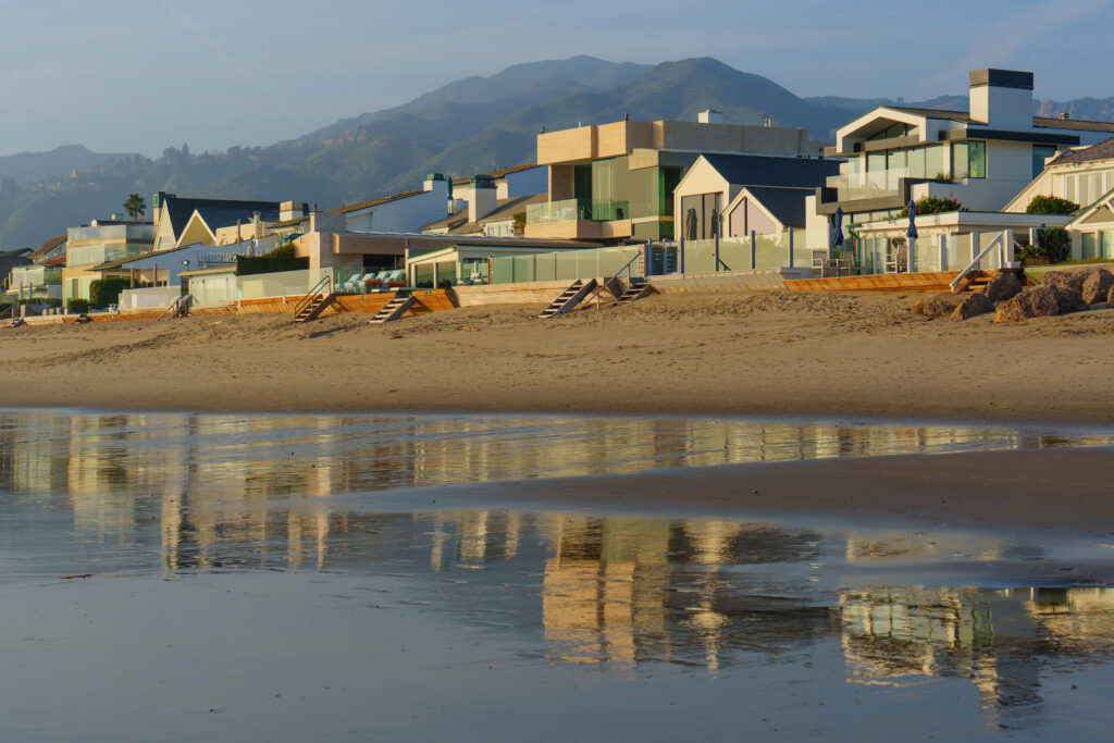
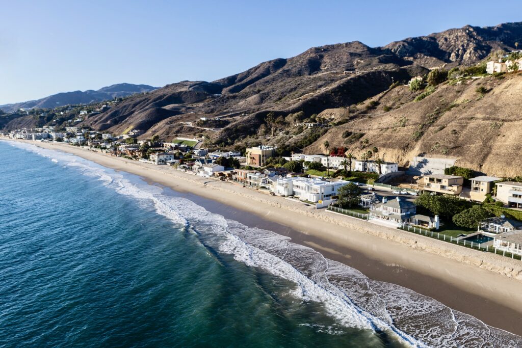
Encinal Bluffs occupies the last stretch of Malibu before the Ventura County line, west of Broad Beach and Trancas and south of Charmlee Wilderness Park, on the terraces above Pacific Coast Highway around Encinal Canyon Road, Sea Level Drive and the Lunita and Bailard roads. The City of Malibu's own description of the area is blunt about its character: development on large lots usually served by private roads, very rural in appearance, lacking typical urban amenities such as sidewalks and streetlights. Buyers looking at Encinal Bluffs homes for sale are generally buying seclusion, ocean frontage of a very particular kind, and land.
Parcel sizes vary by subdivision. The city notes the Lechuza Highlands subdivision at roughly one half acre to three acres, with the broader area made up primarily of larger parcels, and records single-family houses ranging from about 2,000 to 8,500 square feet at the time the descriptions were prepared. Newer construction on this coast has run larger. What does not vary is the arrival: many properties are reached by private roads with shared maintenance obligations, and the terms of those arrangements, along with recorded access easements, belong in diligence rather than in conversation.
Geology deserves early attention here more than almost anywhere in the city. Malibu's own record notes that the area has a history of geological instability, with documented landslides closing Encinal Canyon Road during periods in the late 1960s through the 1980s. That does not make the bluffs unbuildable, and a great deal has been built here since, but it does mean that geotechnical and slope-stability review, drainage design and the parcel's grading history are the governing documents on any purchase. Bluff setback requirements shape site plans on the seaward parcels, and coastal staff scrutiny of any protective structure is significant.
The shoreline below is public and unusually good. Four state-owned beaches sit on the ocean side of Pacific Coast Highway along this stretch, including Robert H. Meyer Memorial State Beach, which comprises the three pocket beaches El Pescador, La Piedra and El Matador, roughly ten miles up-coast from central Malibu, each reached by paths and stairs down from bluff-top parking. Lechuza Beach lies just to the east where Broad Beach Road meets West Sea Level Drive. Sea caves, rock formations and offshore reefs make the water here a diving and paddling coast rather than a swimming-and-volleyball one.
Life on the bluffs is deliberately inconvenient, and that is the trade. Trancas Country Market, several miles down-coast, is the nearest full-service grocery and town center; schools mean a drive along Pacific Coast Highway to the Malibu campuses; and Charmlee Wilderness Park above the neighborhood provides hiking and picnic ground rather than any commercial amenity. Every practical constraint that applies elsewhere in Malibu applies more sharply here: coastal development permits under the city's Local Coastal Program, onsite wastewater capacity, a Very High Fire Hazard Severity Zone with long evacuation routes, and insurance that should be quoted inside contingency.
Life Here
The city describes large lots usually served by private roads, very rural in appearance and without sidewalks or streetlights. Road maintenance agreements and recorded access easements matter as much here as square footage.
Robert H. Meyer Memorial State Beach gathers El Pescador, La Piedra and El Matador into three separate coves, each reached by paths and stairs down from bluff-top parking off Pacific Coast Highway.
Charmlee Wilderness Park sits directly inland with meadows, oak groves and ocean-facing trails, the closest thing this end of Malibu has to a public common.
Education
Malibu's public campuses remain within Santa Monica-Malibu Unified while separation agreements approved in December 2025 await action by the Legislature or the State Board of Education; assignment follows the individual parcel and drive times from this end of the coast are substantial, so confirm any address with the district and confirm admissions directly with private schools.
Common Questions
Work With Ben
Very little on this stretch is ever publicly marketed, and the parcels that matter tend to move through relationships. Tell Ben what you are looking for and he will work the up-coast market directly, with local guidance on private roads, geology and coastal permits.
Start the ConversationBen will reach out shortly to set up your tour.